


antique map northern France Belgium WWI

 4.4 (21 items)
 Limited Time Sale
$20.46 cheaper than the new price!!
Free cash-on-delivery fees for purchases over $99
Product details
| Management number | 14851487 | Release Date | 2025/10/03 | List Price | $30.68 | Model Number | 14851487 | ||
|---|---|---|---|---|---|---|---|---|---|
| Category | |||||||||
Carte-Guide Campbell No. 2 Nord. This antique French map of the North of France and Belgium shows the front for World War 1 from the 1st of March 1917 through the 16th of May 1917. The text at the bottom indicates that the mapmakers are also offering maps of various other regions of the world in order to follow the operations of the war in other places. This gives me the impression that this map may have actually been printed during World War II. Other editions of this map that are available online do not show the offerings of additional regions at the bottom of the map. The map is 38 in wide and 28 in high. It has three tears at the folds Each of which is slightly less than 1 inch long. It also has had a notch cut out and a hole punched through it at the bottom in duplicate.
| Category | |
|---|---|
| Size | N/A |
| Brand | None |
| Condition | Fair |
Handles & Braces


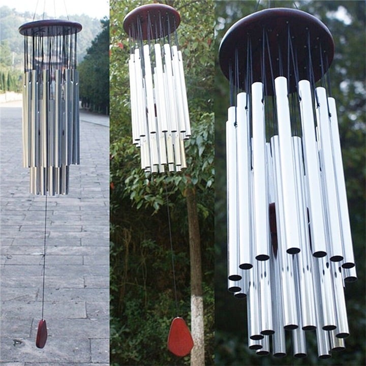
Wind Chimes


Correction of product information
If you notice any omissions or errors in the product information on this page, please use the correction request form below.
Correction Request Form